
Thank you for supporting this site ❤️
Make a donation
Make a donation
Goldvein topographic map
Click on the map to display elevation.
Thank you for supporting this site ❤️
Make a donation
Make a donation
About this map
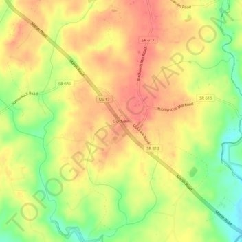
Name: Goldvein topographic map, elevation, terrain.
Location: Goldvein, Fauquier County, Virginia, 22720, United States (38.42902 -77.67527 38.46902 -77.63527)
Average elevation: 93 m
Minimum elevation: 54 m
Maximum elevation: 118 m
Thank you for supporting this site ❤️
Make a donation
Make a donation
Other topographic maps
Click on a map to view its topography, its elevation and its terrain.
Thank you for supporting this site ❤️
Make a donation
Make a donation
Thank you for supporting this site ❤️
Make a donation
Make a donation