
Yakima County topographic map
Interactive map
Click on the map to display elevation.
About this map
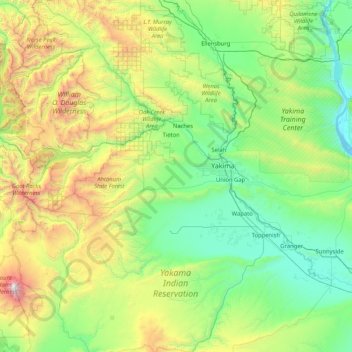
Name: Yakima County topographic map, elevation, terrain.
Location: Yakima County, Washington, United States of America (46.04010 -121.52394 47.08895 -119.86542)
Average elevation: 879 m
Minimum elevation: 146 m
Maximum elevation: 3,700 m