
Thank you for supporting this site ❤️
Make a donation
Make a donation
Lehrte topographic map
Click on the map to display elevation.
Thank you for supporting this site ❤️
Make a donation
Make a donation
About this map
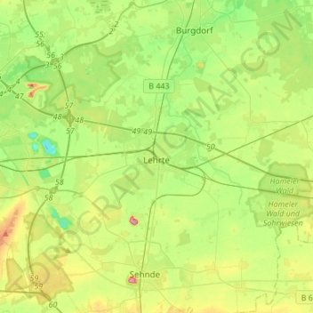
Name: Lehrte topographic map, elevation, terrain.
Location: Lehrte, Region Hannover, Niedersachsen, 31275, Deutschland (52.32204 9.88485 52.43144 10.15632)
Average elevation: 64 m
Minimum elevation: 18 m
Maximum elevation: 146 m
Thank you for supporting this site ❤️
Make a donation
Make a donation