
Puyang topographic map
Click on the map to display elevation.
About this map
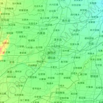
Name: Puyang topographic map, elevation, terrain.
Location: Puyang, Henan, China (35.33204 114.86364 36.21267 116.09719)
Average elevation: 55 m
Minimum elevation: 39 m
Maximum elevation: 186 m
Other topographic maps
Click on a map to view its topography, its elevation and its terrain.
Anyang
Anyang spans a total area of 7,355 square kilometres (2,840 sq mi). The city's elevation is generally higher in the west, with the foothills of the Taihang Mountains running through the area, and lower in the east, which comprises part of the North China Plain.
Average elevation: 102 m