
Streamwood topographic map
Interactive map
Click on the map to display elevation.
About this map
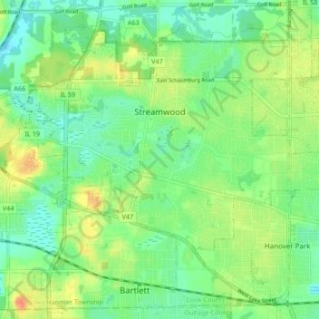
Name: Streamwood topographic map, elevation, terrain.
Location: Streamwood, Cook County, Illinois, 60107, USA (41.98933 -88.22178 42.04305 -88.13849)
Average elevation: 247 m
Minimum elevation: 232 m
Maximum elevation: 270 m