
Guadeloupe topographic map
Interactive map
Click on the map to display elevation.
About this map
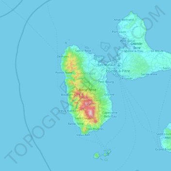
Name: Guadeloupe topographic map, elevation, terrain.
Location: Guadeloupe, France (15.83201 -61.80976 16.51452 -61.00037)
Average elevation: 37 m
Minimum elevation: -1 m
Maximum elevation: 1,440 m