
Island Lake topographic map
Interactive map
Click on the map to display elevation.
About this map
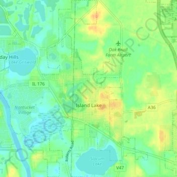
Name: Island Lake topographic map, elevation, terrain.
Location: Island Lake, Lake County, Illinois, 60042, USA (42.25545 -88.22652 42.30633 -88.16914)
Average elevation: 233 m
Minimum elevation: 221 m
Maximum elevation: 251 m