
Danbury topographic map
Click on the map to display elevation.
Danbury
Danbury is located at 46.006N. The longitude is -92.371W. It is in the Central Standard Time Zone. The elevation is 938 feet (286 m) above sea level.
About this map
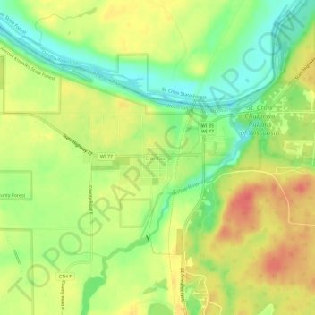
Name: Danbury topographic map, elevation, terrain.
Average elevation: 287 m
Minimum elevation: 259 m
Maximum elevation: 312 m
Other topographic maps
Click on a map to view its topography, its elevation and its terrain.
Saint Croix National Scenic Riverway
United States > Wisconsin > Burnett County > St. Croix Falls
Average elevation: 335 m