
Thank you for supporting this site ❤️
Make a donation
Make a donation
Gridley topographic map
Click on the map to display elevation.
Thank you for supporting this site ❤️
Make a donation
Make a donation
About this map
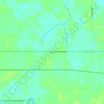
Name: Gridley topographic map, elevation, terrain.
Location: Gridley, Emmet County, Iowa, United States (43.37940 -94.59331 43.41940 -94.55331)
Average elevation: 387 m
Minimum elevation: 381 m
Maximum elevation: 393 m
Thank you for supporting this site ❤️
Make a donation
Make a donation
Other topographic maps
Click on a map to view its topography, its elevation and its terrain.