
Thank you for supporting this site ❤️
Make a donation
Make a donation
Crookham Village topographic map
Click on the map to display elevation.
Thank you for supporting this site ❤️
Make a donation
Make a donation
About this map
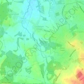
Name: Crookham Village topographic map, elevation, terrain.
Location: Crookham Village, Hart, Hampshire, England, United Kingdom (51.24585 -0.87631 51.27680 -0.84560)
Average elevation: 81 m
Minimum elevation: 62 m
Maximum elevation: 120 m
Thank you for supporting this site ❤️
Make a donation
Make a donation