
Thank you for supporting this site ❤️
Make a donation
Make a donation
Karangan topographic map
Click on the map to display elevation.
Thank you for supporting this site ❤️
Make a donation
Make a donation
About this map
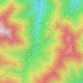
Name: Karangan topographic map, elevation, terrain.
Location: Karangan, دهستان سینا, بخش مرکزی, Varzaqan County, Iran (38.73220 46.50440 38.77220 46.54440)
Average elevation: 1,814 m
Minimum elevation: 1,249 m
Maximum elevation: 2,365 m
Thank you for supporting this site ❤️
Make a donation
Make a donation