
Thank you for supporting this site ❤️
Make a donation
Make a donation
Hörvik topographic map
Click on the map to display elevation.
Thank you for supporting this site ❤️
Make a donation
Make a donation
About this map
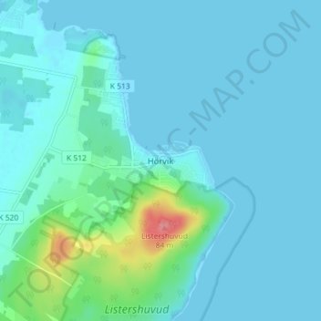
Name: Hörvik topographic map, elevation, terrain.
Location: Hörvik, Gemeinde Sölvesborg, Provinz Blekinge, Schweden (56.02055 14.74527 56.06055 14.78527)
Average elevation: 10 m
Minimum elevation: -1 m
Maximum elevation: 80 m
Thank you for supporting this site ❤️
Make a donation
Make a donation
Other topographic maps
Click on a map to view its topography, its elevation and its terrain.