
Lokoja topographic map
Interactive map
Click on the map to display elevation.
About this map
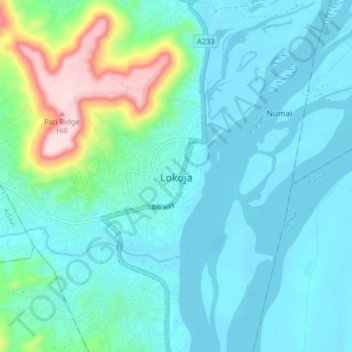
Name: Lokoja topographic map, elevation, terrain.
Location: Lokoja, Kogi, Nigeria (7.76236 6.70300 7.84236 6.78300)
Average elevation: 99 m
Minimum elevation: 32 m
Maximum elevation: 417 m
Other topographic maps
Click on a map to view its topography, its elevation and its terrain.