
张家界天门山国家森林公园 topographic map
Interactive map
Click on the map to display elevation.
About this map
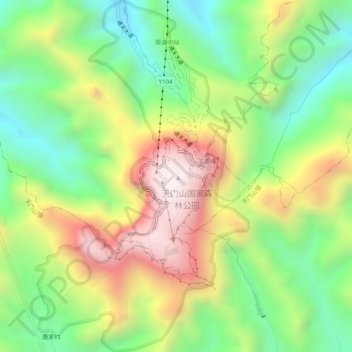
Name: 张家界天门山国家森林公园 topographic map, elevation, terrain.
Location: 张家界天门山国家森林公园, 通天大道, 官黎坪街道, 永定区, 张家界市, 湖南省, 中国 (29.02831 110.45862 29.07189 110.48888)
Average elevation: 781 m
Minimum elevation: 311 m
Maximum elevation: 1,433 m
Other topographic maps
Click on a map to view its topography, its elevation and its terrain.