
Thank you for supporting this site ❤️
Make a donation
Make a donation
Powhatan topographic map
Click on the map to display elevation.
Thank you for supporting this site ❤️
Make a donation
Make a donation
About this map
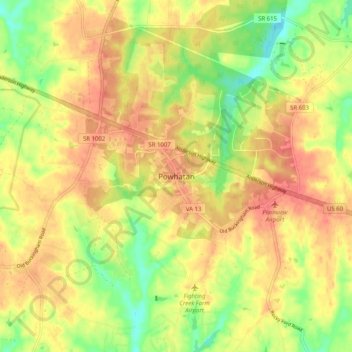
Name: Powhatan topographic map, elevation, terrain.
Location: Powhatan, Powhatan County, Virginia, 23139, United States (37.50202 -77.95906 37.58202 -77.87906)
Average elevation: 102 m
Minimum elevation: 69 m
Maximum elevation: 125 m
Thank you for supporting this site ❤️
Make a donation
Make a donation