
Thank you for supporting this site ❤️
Make a donation
Make a donation
Artemus topographic map
Click on the map to display elevation.
Thank you for supporting this site ❤️
Make a donation
Make a donation
About this map
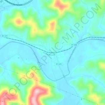
Name: Artemus topographic map, elevation, terrain.
Location: Artemus, Knox County, Kentucky, 40903, United States (36.81342 -83.86159 36.85342 -83.82159)
Average elevation: 345 m
Minimum elevation: 291 m
Maximum elevation: 531 m
Thank you for supporting this site ❤️
Make a donation
Make a donation