
Thank you for supporting this site ❤️
Make a donation
Make a donation
Semukoi topographic map
Click on the map to display elevation.
Thank you for supporting this site ❤️
Make a donation
Make a donation
About this map
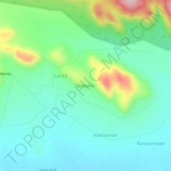
Name: Semukoi topographic map, elevation, terrain.
Location: Semukoi, Karenga, Northern Region, Uganda (3.74910 33.88583 3.78910 33.92583)
Average elevation: 1,540 m
Minimum elevation: 1,450 m
Maximum elevation: 1,798 m
Thank you for supporting this site ❤️
Make a donation
Make a donation