
Thank you for supporting this site ❤️
Make a donation
Make a donation
Sids Mountain topographic map
Click on the map to display elevation.
Thank you for supporting this site ❤️
Make a donation
Make a donation
About this map
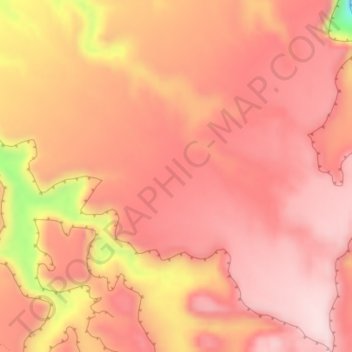
Name: Sids Mountain topographic map, elevation, terrain.
Location: Sids Mountain, Emery County, Utah, United States (39.05030 -110.80670 39.07030 -110.78670)
Average elevation: 1,914 m
Minimum elevation: 1,685 m
Maximum elevation: 1,992 m
Thank you for supporting this site ❤️
Make a donation
Make a donation
Other topographic maps
Click on a map to view its topography, its elevation and its terrain.