
Thank you for supporting this site ❤️
Make a donation
Make a donation
Walker topographic map
Click on the map to display elevation.
Thank you for supporting this site ❤️
Make a donation
Make a donation
About this map
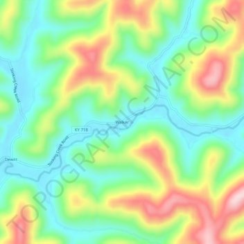
Name: Walker topographic map, elevation, terrain.
Location: Walker, Knox County, Kentucky, 40997, United States (36.86314 -83.73492 36.90314 -83.69492)
Average elevation: 403 m
Minimum elevation: 294 m
Maximum elevation: 589 m
Thank you for supporting this site ❤️
Make a donation
Make a donation