
汉阳 topographic map
Interactive map
Click on the map to display elevation.
About this map
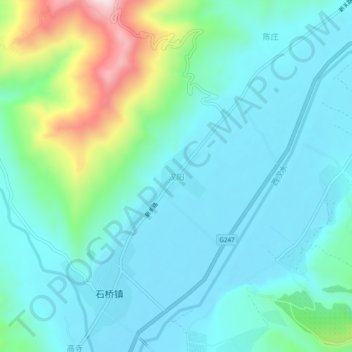
Name: 汉阳 topographic map, elevation, terrain.
Location: 汉阳, 礼县, 陇南市, 甘肃省, 中国 (34.13560 105.11000 34.17560 105.15000)
Average elevation: 1,470 m
Minimum elevation: 1,379 m
Maximum elevation: 1,820 m
Other topographic maps
Click on a map to view its topography, its elevation and its terrain.