
South Fort topographic map
Interactive map
Click on the map to display elevation.
About this map
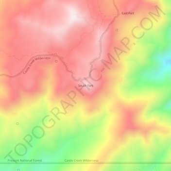
Name: South Fort topographic map, elevation, terrain.
Location: South Fort, Yavapai County, Arizona, USA (34.12670 -112.28711 34.16670 -112.24711)
Average elevation: 1,777 m
Minimum elevation: 1,375 m
Maximum elevation: 2,035 m