
环峰镇 topographic map
Interactive map
Click on the map to display elevation.
About this map
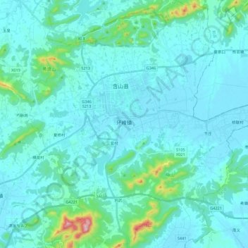
Name: 环峰镇 topographic map, elevation, terrain.
Location: 环峰镇, 含山县, 马鞍山市, 安徽省, 238100, 中国 (31.61612 118.01223 31.80101 118.21772)
Average elevation: 52 m
Minimum elevation: 5 m
Maximum elevation: 460 m
Other topographic maps
Click on a map to view its topography, its elevation and its terrain.