
Thank you for supporting this site ❤️
Make a donation
Make a donation
Mount Jefferson topographic map
Click on the map to display elevation.
Thank you for supporting this site ❤️
Make a donation
Make a donation
About this map
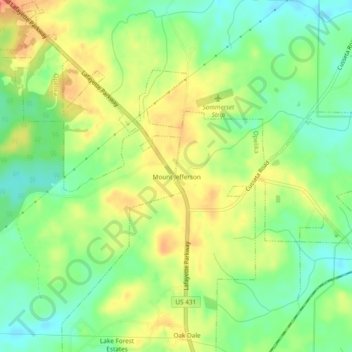
Name: Mount Jefferson topographic map, elevation, terrain.
Location: Mount Jefferson, Opelika, Lee County, Alabama, United States (32.68958 -85.39245 32.72958 -85.35245)
Average elevation: 234 m
Minimum elevation: 210 m
Maximum elevation: 261 m
Thank you for supporting this site ❤️
Make a donation
Make a donation