
Kulithalai topographic map
Click on the map to display elevation.
About this map
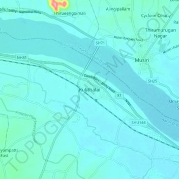
Name: Kulithalai topographic map, elevation, terrain.
Location: Kulithalai, Karur District, Tamil Nadu, 639100, India (10.89834 78.37812 10.97834 78.45812)
Average elevation: 91 m
Minimum elevation: 80 m
Maximum elevation: 209 m