
Mala topographic map
Click on the map to display elevation.
About this map
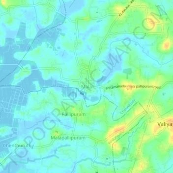
Name: Mala topographic map, elevation, terrain.
Location: Mala, Chalakkudy, Thrissur, Kerala, 680732, India (10.22030 76.24287 10.26030 76.28287)
Average elevation: 8 m
Minimum elevation: -5 m
Maximum elevation: 27 m