
Hóp topographic map
Interactive map
Click on the map to display elevation.
About this map
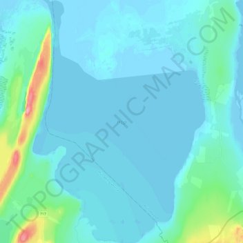
Name: Hóp topographic map, elevation, terrain.
Location: Hóp, Húnaþing vestra, Northwestern Region, Iceland (65.49165 -20.58644 65.58787 -20.42123)
Average elevation: 12 m
Minimum elevation: -5 m
Maximum elevation: 117 m