
Ghayadha topographic map
Interactive map
Click on the map to display elevation.
About this map
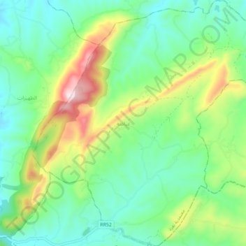
Name: Ghayadha topographic map, elevation, terrain.
Location: Ghayadha, Délégation Nefza, Gouvernorat Béja, Tunisie (36.90113 9.12155 36.97051 9.20195)
Average elevation: 227 m
Minimum elevation: 67 m
Maximum elevation: 598 m