
Umuchu topographic map
Click on the map to display elevation.
About this map
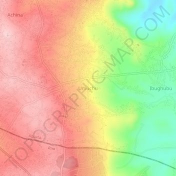
Name: Umuchu topographic map, elevation, terrain.
Location: Umuchu, Aguata, Anambra State, Nigeria (5.91333 7.11333 5.95333 7.15333)
Average elevation: 251 m
Minimum elevation: 121 m
Maximum elevation: 341 m