
Thank you for supporting this site ❤️
Make a donation
Make a donation
Katharinenrieth topographic map
Click on the map to display elevation.
Thank you for supporting this site ❤️
Make a donation
Make a donation
About this map
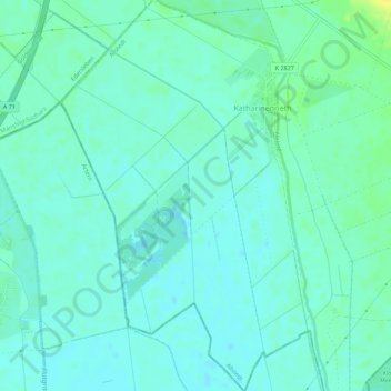
Name: Katharinenrieth topographic map, elevation, terrain.
Average elevation: 124 m
Minimum elevation: 118 m
Maximum elevation: 138 m
Thank you for supporting this site ❤️
Make a donation
Make a donation
Other topographic maps
Click on a map to view its topography, its elevation and its terrain.
Rohnetal
Deutschland > Sachsen-Anhalt > Mansfeld-Südharz > Allstedt > Wolferstedt
Average elevation: 172 m