
Thank you for supporting this site ❤️
Make a donation
Make a donation
Painted Hills topographic map
Click on the map to display elevation.
Thank you for supporting this site ❤️
Make a donation
Make a donation
About this map
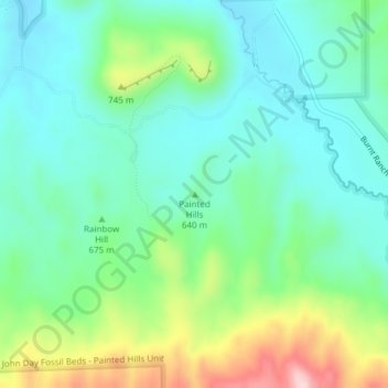
Name: Painted Hills topographic map, elevation, terrain.
Location: Painted Hills, Wheeler County, Oregon, United States (44.64759 -120.26090 44.64769 -120.26080)
Average elevation: 657 m
Minimum elevation: 578 m
Maximum elevation: 858 m
Thank you for supporting this site ❤️
Make a donation
Make a donation