
Thank you for supporting this site ❤️
Make a donation
Make a donation
Warren Landing topographic map
Click on the map to display elevation.
Thank you for supporting this site ❤️
Make a donation
Make a donation
About this map
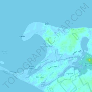
Name: Warren Landing topographic map, elevation, terrain.
Location: Warren Landing, Nantucket, Massachusetts, United States (41.26623 -70.21196 41.30623 -70.17196)
Average elevation: 1 m
Minimum elevation: -9 m
Maximum elevation: 18 m
Thank you for supporting this site ❤️
Make a donation
Make a donation
Other topographic maps
Click on a map to view its topography, its elevation and its terrain.