
Rushcliffe topographic map
Click on the map to display elevation.
About this map
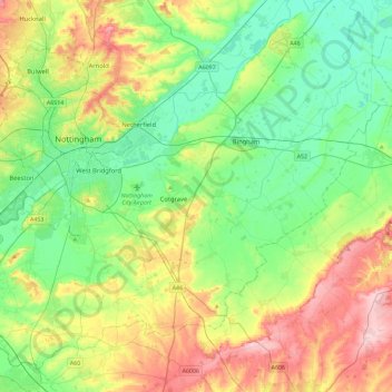
Name: Rushcliffe topographic map, elevation, terrain.
Location: Rushcliffe, Nottinghamshire, England, United Kingdom (52.78942 -1.27525 53.03591 -0.81516)
Average elevation: 63 m
Minimum elevation: 3 m
Maximum elevation: 179 m