
Irele topographic map
Interactive map
Click on the map to display elevation.
About this map
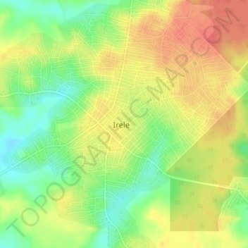
Name: Irele topographic map, elevation, terrain.
Location: Irele, Ondo, Nigeria (6.46954 4.85050 6.50954 4.89050)
Average elevation: 33 m
Minimum elevation: 4 m
Maximum elevation: 58 m