
Thank you for supporting this site ❤️
Make a donation
Make a donation
Ajnale topographic map
Click on the map to display elevation.
Thank you for supporting this site ❤️
Make a donation
Make a donation
About this map
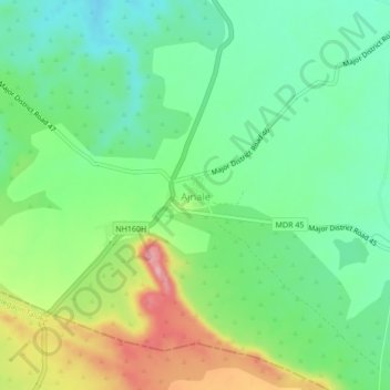
Name: Ajnale topographic map, elevation, terrain.
Location: Ajnale, Dhule Taluka, Dhule District, Maharashtra, India (20.80785 74.57641 20.84785 74.61641)
Average elevation: 420 m
Minimum elevation: 368 m
Maximum elevation: 517 m
Thank you for supporting this site ❤️
Make a donation
Make a donation