
Agaie topographic map
Interactive map
Click on the map to display elevation.
About this map
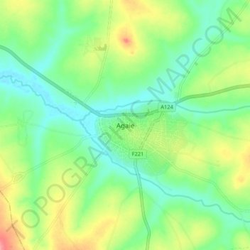
Name: Agaie topographic map, elevation, terrain.
Location: Agaie, Niger State, Nigeria (8.97028 6.27776 9.05028 6.35776)
Average elevation: 115 m
Minimum elevation: 84 m
Maximum elevation: 172 m