Fer A Cheval topographic map
Interactive map
Click on the map to display elevation.
About this map
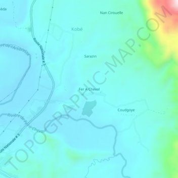
Name: Fer A Cheval topographic map, elevation, terrain.
Average elevation: 158 m
Minimum elevation: 100 m
Maximum elevation: 568 m

Click on the map to display elevation.
Name: Fer A Cheval topographic map, elevation, terrain.
Average elevation: 158 m
Minimum elevation: 100 m
Maximum elevation: 568 m