
Bransgore topographic map
Click on the map to display elevation.
About this map
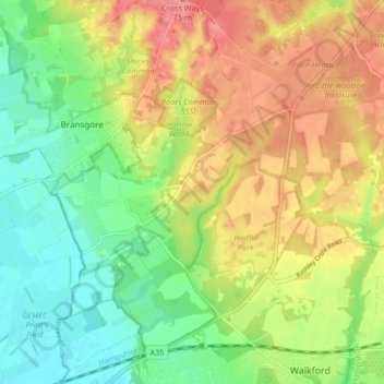
Name: Bransgore topographic map, elevation, terrain.
Location: Bransgore, New Forest, Hampshire, England, United Kingdom (50.74747 -1.74908 50.79973 -1.67680)
Average elevation: 39 m
Minimum elevation: 5 m
Maximum elevation: 77 m