
Campo Largo topographic map
Interactive map
Click on the map to display elevation.
About this map
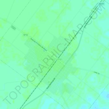
Name: Campo Largo topographic map, elevation, terrain.
Location: Campo Largo, Departamento Independencia, Chaco, Argentina (-26.81927 -60.86862 -26.77795 -60.81889)
Average elevation: 105 m
Minimum elevation: 100 m
Maximum elevation: 107 m