
Kingsnorth topographic map
Click on the map to display elevation.
About this map
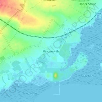
Name: Kingsnorth topographic map, elevation, terrain.
Location: Kingsnorth, Medway, England, ME3 9ND, United Kingdom (51.40834 0.57963 51.44834 0.61963)
Average elevation: 11 m
Minimum elevation: -2 m
Maximum elevation: 56 m
Other topographic maps
Click on a map to view its topography, its elevation and its terrain.
Rainham Creek
United Kingdom > England > Medway > Gillingham > Lower Rainham > Motney Hill
Average elevation: 4 m