
Thank you for supporting this site ❤️
Make a donation
Make a donation
Brainerd topographic map
Click on the map to display elevation.
Thank you for supporting this site ❤️
Make a donation
Make a donation
About this map
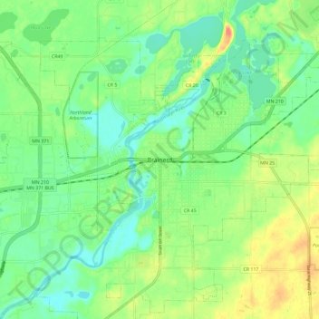
Name: Brainerd topographic map, elevation, terrain.
Location: Brainerd, Crow Wing County, Minnesota, 56401, United States (46.31802 -94.24083 46.39802 -94.16083)
Average elevation: 369 m
Minimum elevation: 348 m
Maximum elevation: 406 m
Thank you for supporting this site ❤️
Make a donation
Make a donation