
Thank you for supporting this site ❤️
Make a donation
Make a donation
Garnett topographic map
Click on the map to display elevation.
Thank you for supporting this site ❤️
Make a donation
Make a donation
About this map
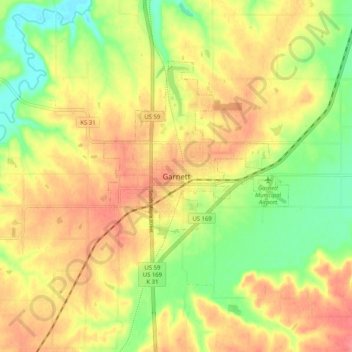
Name: Garnett topographic map, elevation, terrain.
Location: Garnett, Anderson County, Kansas, 66032, United States (38.24058 -95.28192 38.32058 -95.20192)
Average elevation: 313 m
Minimum elevation: 275 m
Maximum elevation: 344 m
Thank you for supporting this site ❤️
Make a donation
Make a donation