
Thank you for supporting this site ❤️
Make a donation
Make a donation
Half Moon Lake topographic map
Click on the map to display elevation.
Thank you for supporting this site ❤️
Make a donation
Make a donation
About this map
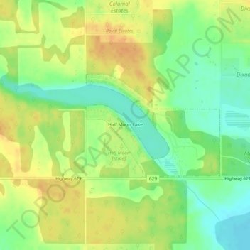
Name: Half Moon Lake topographic map, elevation, terrain.
Location: Half Moon Lake, Strathcona County, Alberta, Canada (53.45388 -113.09874 53.46500 -113.07442)
Average elevation: 753 m
Minimum elevation: 735 m
Maximum elevation: 768 m
Thank you for supporting this site ❤️
Make a donation
Make a donation
Other topographic maps
Click on a map to view its topography, its elevation and its terrain.