
Thank you for supporting this site ❤️
Make a donation
Make a donation
Blatchford topographic map
Click on the map to display elevation.
Thank you for supporting this site ❤️
Make a donation
Make a donation
About this map
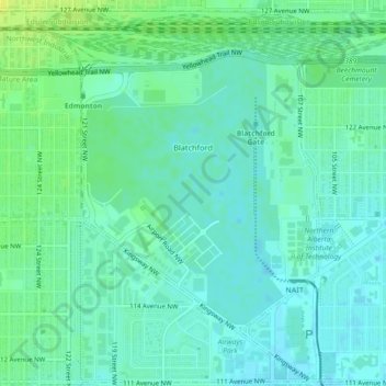
Name: Blatchford topographic map, elevation, terrain.
Location: Blatchford, Edmonton, Alberta, Canada (53.56247 -113.53108 53.58172 -113.50294)
Average elevation: 668 m
Minimum elevation: 662 m
Maximum elevation: 679 m
Thank you for supporting this site ❤️
Make a donation
Make a donation
Other topographic maps
Click on a map to view its topography, its elevation and its terrain.