
Astrakhan topographic map
Interactive map
Click on the map to display elevation.
About this map
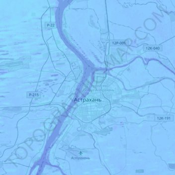
Name: Astrakhan topographic map, elevation, terrain.
Average elevation: -21 m
Minimum elevation: -30 m
Maximum elevation: -6 m
Other topographic maps
Click on a map to view its topography, its elevation and its terrain.
Astrakhan
Russia > Astrakhan Oblast > Astrakhan
Astrakhan (Russian: Астрахань, tr. Astrakhan', IPA: ; Tatar: Cyrillic Әстерхан, Latin Ästerxan) is the largest city and administrative centre of Astrakhan Oblast in Southern Russia. The city lies on two banks of the Volga, in the upper part of the Volga Delta, on eleven islands of the Caspian…
Average elevation: -21 m