
Mason City topographic map
Interactive map
Click on the map to display elevation.
About this map
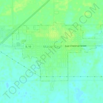
Name: Mason City topographic map, elevation, terrain.
Location: Mason City, Mason County, Illinois, USA (40.19323 -89.71175 40.20870 -89.67866)
Average elevation: 175 m
Minimum elevation: 169 m
Maximum elevation: 182 m