
Chirwa topographic map
Interactive map
Click on the map to display elevation.
About this map
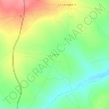
Name: Chirwa topographic map, elevation, terrain.
Location: Chirwa, Kasungu, Central Region, Malawi (-12.66498 33.49087 -12.62498 33.53087)
Average elevation: 1,167 m
Minimum elevation: 1,127 m
Maximum elevation: 1,219 m