
Geochang-gun topographic map
Interactive map
Click on the map to display elevation.
About this map
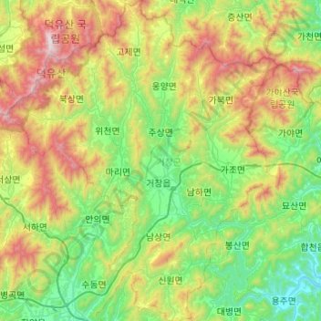
Name: Geochang-gun topographic map, elevation, terrain.
Location: Geochang-gun, Gyeongsangnam-do, South Korea (35.51445 127.67903 35.91022 128.09507)
Average elevation: 515 m
Minimum elevation: 30 m
Maximum elevation: 1,592 m
Other topographic maps
Click on a map to view its topography, its elevation and its terrain.