
Thank you for supporting this site ❤️
Make a donation
Make a donation
Dora topographic map
Click on the map to display elevation.
Thank you for supporting this site ❤️
Make a donation
Make a donation
About this map
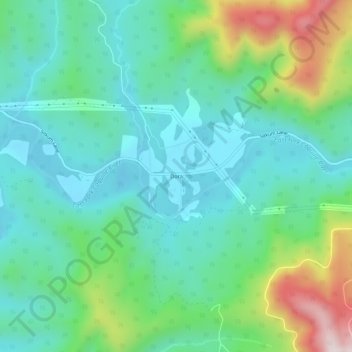
Name: Dora topographic map, elevation, terrain.
Location: Dora, Coos County, Oregon, United States (43.13592 -123.97624 43.17592 -123.93624)
Average elevation: 181 m
Minimum elevation: 29 m
Maximum elevation: 615 m
Thank you for supporting this site ❤️
Make a donation
Make a donation
Other topographic maps
Click on a map to view its topography, its elevation and its terrain.