
托桑林村 topographic map
Interactive map
Click on the map to display elevation.
About this map
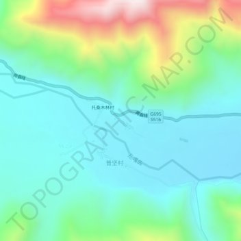
Name: 托桑林村 topographic map, elevation, terrain.
Location: 托桑林村, 定日县, 日喀则市, 西藏自治区, 中国 (28.39041 87.02942 28.43041 87.06942)
Average elevation: 4,282 m
Minimum elevation: 4,079 m
Maximum elevation: 4,880 m
Other topographic maps
Click on a map to view its topography, its elevation and its terrain.