
Thank you for supporting this site ❤️
Make a donation
Make a donation
Waldesch topographic map
Click on the map to display elevation.
Thank you for supporting this site ❤️
Make a donation
Make a donation
Waldesch
Die alte Römerstraße von Koblenz nach Trier, der die heutige Hunsrückhöhenstraße (B 327) auf langen Wegstücken folgt, führt direkt am Ort vorbei.
Thank you for supporting this site ❤️
Make a donation
Make a donation
About this map
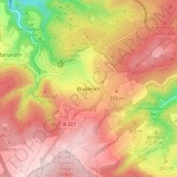
Name: Waldesch topographic map, elevation, terrain.
Average elevation: 312 m
Minimum elevation: 122 m
Maximum elevation: 428 m
Thank you for supporting this site ❤️
Make a donation
Make a donation